TEMPO Data Integration: Citizen Scientists Track Atmospheric Pollutants
NASA’s TEMPO mission is transitioning from orbital data collection to ground-level utility, allowing educators and students to monitor local air quality via high-resolution satellite telemetry.
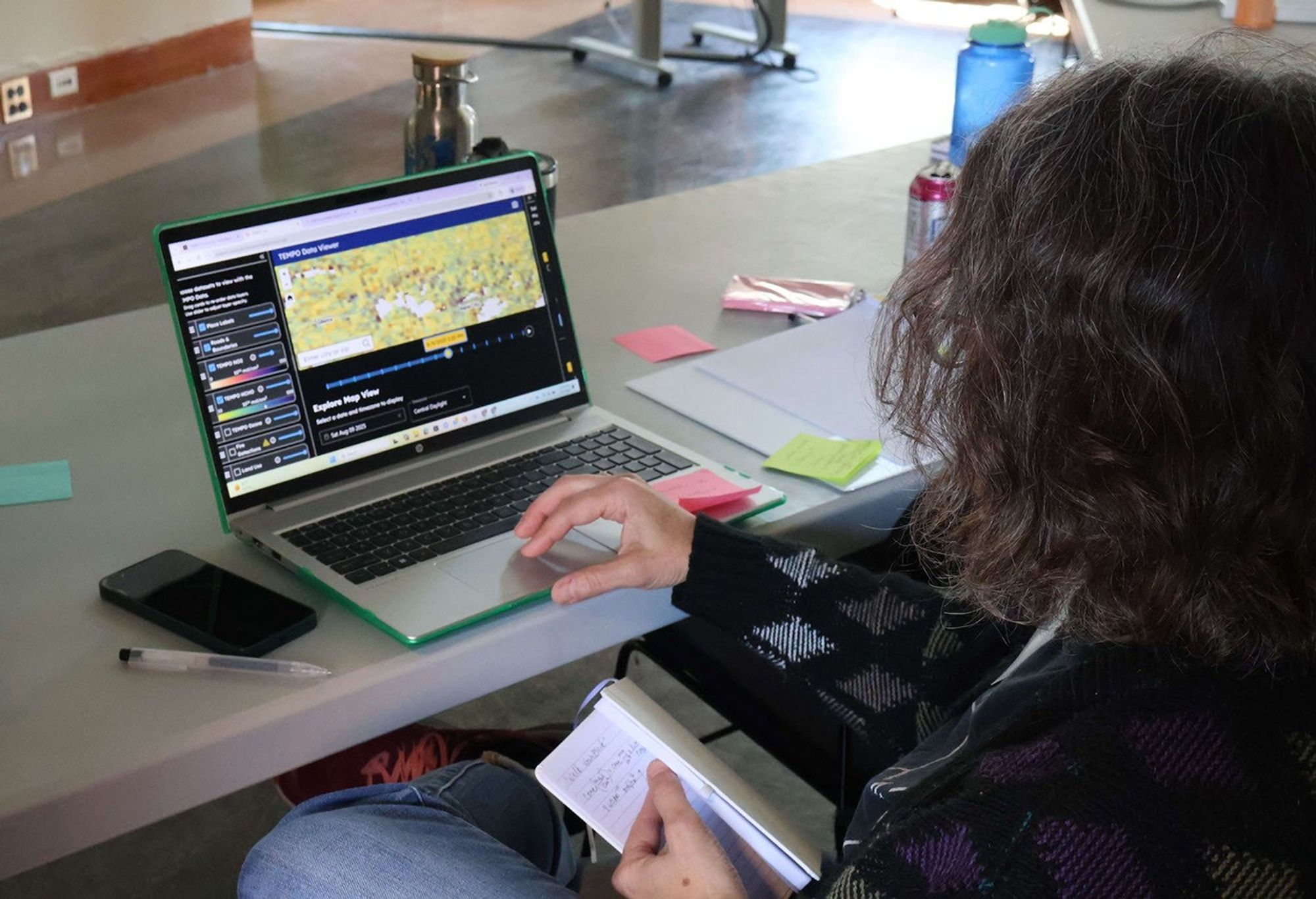
DATA OVERVIEW: TEMPO UPLINK
NASA’s Tropospheric Emissions: Monitoring of Pollution (TEMPO) instrument, currently positioned in geostationary orbit, has begun providing high-resolution data streams to non-professional researchers. According to NASA Breaking News, the agency’s Science Activation program is now facilitating direct access for educators and teenagers to investigate local atmospheric conditions.
SCANNING THE TROPOSPHERE
The TEMPO sensor is designed to measure pollutants—including nitrogen dioxide, ozone, and formaldehyde—across North America at hourly intervals. Unlike traditional polar-orbiting satellites that offer daily snapshots, TEMPO’s geostationary vantage point allows for continuous monitoring of the diurnal cycle of pollution. This granular data enables students to correlate local traffic patterns or industrial activity with immediate changes in air chemistry.
CIVILIAN ENGAGEMENT
The initiative emphasizes hands-on data analysis, bridging the gap between orbital hardware and terrestrial impact. Participants utilize specialized toolsets to visualize air quality fluctuations, transforming raw satellite telemetry into actionable environmental reports. By involving the next generation of technicians in actual mission data, NASA aims to refine the accuracy of ground-level pollution models. This collaborative framework ensures that the multi-million dollar investment in TEMPO provides utility beyond elite scientific circles, fostering a decentralized network of atmospheric observers.