Sentinel-2 Tracks Devastating Flash Flood in Nepal
Satellite imagery from the Copernicus Sentinel-2 mission has revealed the scale of catastrophic flash flooding in Nepal, providing critical data for impact assessment and disaster response.
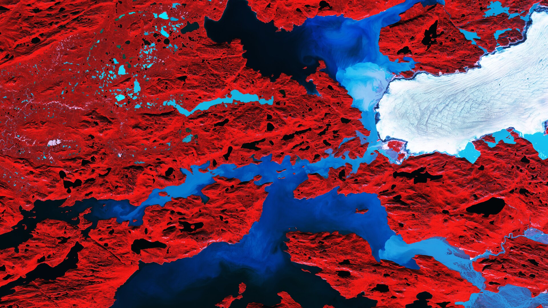
# Sentinel-2 Orbital Survey: Nepal Flood Event
STATUS: ACTIVE
DATA SOURCE: ESA / Copernicus Sentinel-2
Orbital assets have confirmed the scale of the recent flash flooding in Nepal. According to ESA, the Copernicus Sentinel-2 mission has successfully acquired high-resolution imagery comparing the region before and after the hydrologic surge. The multispectral data provides a clear visualization of the geographic transformation caused by the sudden influx of water and debris.
Orbital Analysis
The Sentinel-2 twin-satellite constellation, which provides a five-day revisit time at the equator, was deployed to monitor the affected terrain. By processing data through various spectral bands, analysts identified significant sediment deposits and altered river courses. These "before and after" comparisons are vital for mapping the extent of the inundation in high-altitude environments where ground access is frequently restricted by debris or ongoing weather hazards.
Technical Utility
The mission’s ability to detect changes in vegetation and water levels allows emergency coordinators to prioritize rescue efforts and damage assessments. As flash floods in the Himalayan region are often triggered by intense precipitation or glacial lake outbursts, satellite monitoring remains the primary tool for rapid situational awareness.
Mission Integration
Managed by the European Space Agency, Sentinel-2 delivers open-access data to the global scientific community. This specific capture underscores the mission's dual-purpose design: providing both long-term environmental monitoring and short-term tactical support for disaster management. The data has been integrated into the Copernicus emergency management workflow to support local relief agencies in Nepal.