Orbital Radar: NISAR Mission Tracks Volcanic Deformation in Real-Time
A collaborative mission between NASA and ISRO has deployed advanced L-band and S-band synthetic aperture radar to visualize terrestrial volcanic activity with unprecedented precision.
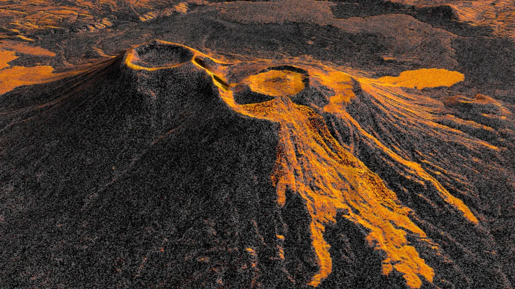
Data Acquisition: Tectonic Surveillance
The joint NASA-ISRO Synthetic Aperture Radar (NISAR) mission has successfully demonstrated its capacity for high-cadence geological monitoring. According to NASA Breaking News, the orbital asset has produced a detailed time-lapse sequence documenting the evolution of a volcanic eruption site. This capability is facilitated by the satellite’s dual-frequency radar system, designed to penetrate cloud cover and vegetation to map surface changes with millimetric accuracy.
Technical Specifications
NISAR operates in a sun-synchronous orbit, utilizing an L-band and S-band instrument suite. Unlike optical sensors, these radar frequencies allow for consistent data acquisition regardless of weather conditions or local illumination. The recent time-lapse data highlights the satellite's ability to track surface deformation—inflation and deflation of the Earth’s crust—which serves as a critical indicator of subsurface magma movement.
Strategic Implications
By monitoring these seismic signatures from Low Earth Orbit (LEO), the mission provides a predictive framework for natural hazard mitigation. The global revisit time of 12 days ensures that high-risk volcanic zones are under persistent observation. This systematic data flow allows researchers to visualize the dynamic physical changes occurring at eruption sites over weeks and months, bridging the gap between theoretical geophysics and real-time disaster response.
The deployment of NISAR represents a shift toward integrated planetary management, where space-based telemetry provides the primary defense against terrestrial volatility.