Orbital Perspectives on the Tour de France
European Space Agency assets monitor the 3,500km progression of the Tour de France, utilizing high-resolution satellite arrays to track the race across the continent's diverse topography.
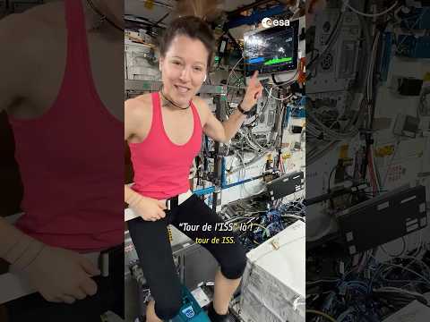
Surveillance of the Peleton
As the Tour de France traverses the European landscape, the race is being monitored from an altitude of approximately 800 kilometers. According to a featured update on the ESA YouTube channel, the European Space Agency is utilizing its Earth observation fleet to document the 3,500-kilometer endurance event through a series of multi-spectral and high-resolution optical captures.
Geospatial Context
The satellite imagery provides a distinct logistical perspective on the race's progression. By leveraging the Copernicus Sentinel program, researchers and spectators can observe the peloton’s passage through varied terrain, ranging from the flat coastal reaches to the high-altitude alpine passes. This orbital vantage point highlights the massive scale of human movement against the backdrop of France's geographic diversity.
Technological Utility
Beyond mere visual tracking, the data gathered by ESA assets during such events serves as a demonstration of real-time environmental monitoring. The sensors detect land-use patterns, thermal gradients, and atmospheric conditions affecting the route. This high-altitude surveillance reinforces the integration of space-based assets into terrestrial sporting logistics, providing a data-rich layer to one of the world's most grueling physical competitions. The imagery serves as a testament to the precision of European sensor technology in tracking high-speed, dynamic targets across vast territorial expanses.