Orbital Observation: Southwest Pacific Cyclone Pattern Identified
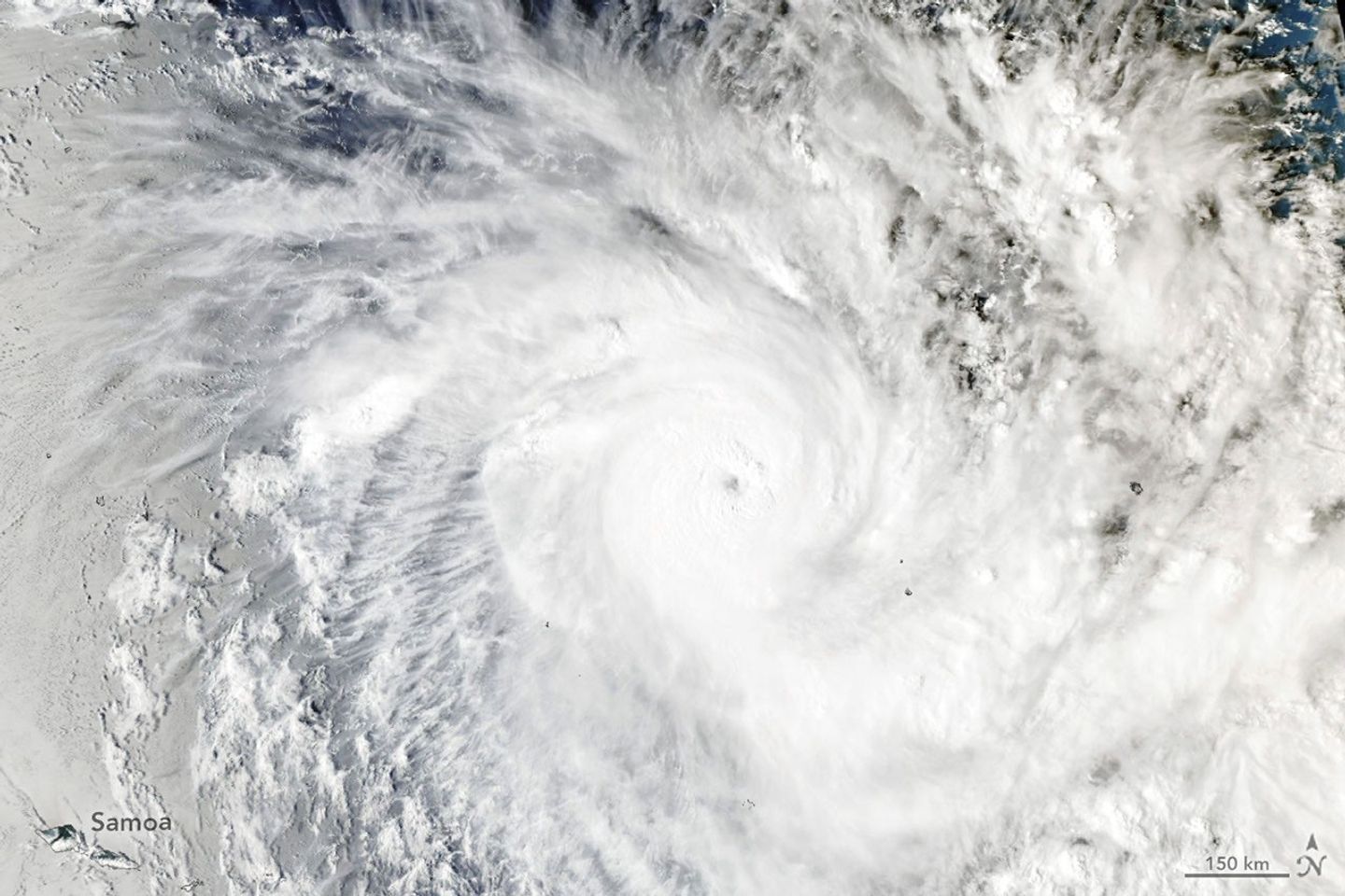
High-resolution orbital imaging from NASA Earth Observatory reveals a complex of convective storm cells forming across the Southwest Pacific, providing critical data for atmospheric modeling.
Atmospheric Surveillance Update
Recent orbital data sets provided by NASA Breaking News confirm a period of intensified atmospheric volatility across the Southwest Pacific. Satellite imagery from the Earth Observatory has captured a significant cluster of convective storm cells, highlighting the dynamic interplay between thermal currents and oceanic vapor in this high-activity corridor.
Technical Overview
The identified storm systems are characterized by massive cloud formations and vertical development, indicative of strong updrafts typical of the South Pacific Convergence Zone (SPCZ). According to NASA Breaking News, these patterns are essential for researchers studying the global heat engine, as the Southwest Pacific serves as a primary driver of atmospheric circulation. The high-resolution captures allow for the precise mapping of cloud-top temperatures and moisture distribution, variables that are vital for refining predictive meteorological algorithms.
Operational Significance
For the European space and aerospace sectors, tracking these high-energy weather events is a matter of orbital safety and logistics. Monitoring the transition of these cells provides ground stations and satellite operators with necessary telemetry to anticipate signal interference caused by tropospheric disturbances. Furthermore, the data supports the Copernicus program's ongoing mission to observe climate-induced shifts in tropical storm frequency.
As Voyager 1 reaches its one-light-day milestone and the Roman Telescope prepares for first-light imaging, the continuous monitoring of our own biosphere remains a baseline priority for Earth-orbiting assets.