Orbital Monitoring: South Africa's Maize Triangle Activity
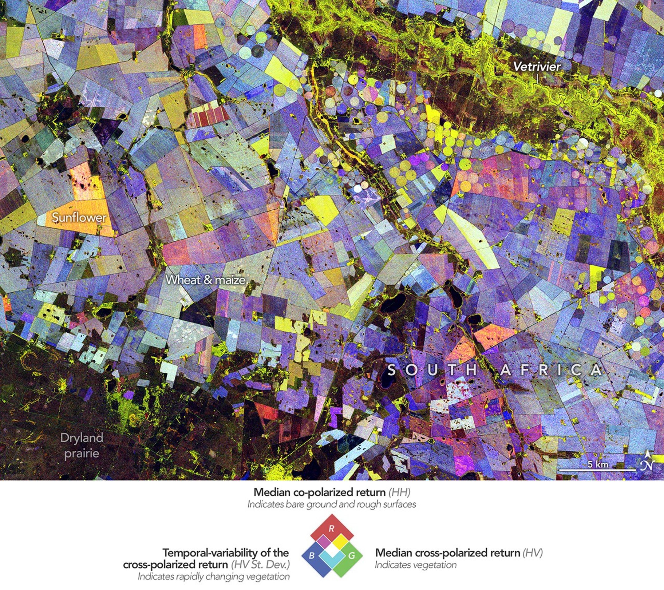
New satellite imagery captures the peak photosynthetic activity within South Africa's critical 'Maize Triangle' as orbital assets track the 2024-2025 growing season.
Data Update: Terrestrial Biomass Survey
Recent orbital telemetry has provided a high-resolution assessment of South Africa’s key agricultural sector, known as the Maize Triangle. According to NASA Breaking News, multispectral imaging systems have documented the height of the growing season, highlighting the intense photosynthetic vigor across the Highveld plateau.
Sector Analysis
The Maize Triangle—defined by the vertices of Mafikeng, Groblersdal, and Ladybrand—serves as the primary grain production hub for the region. The data, captured by the Operational Land Imager (OLI) and OLI-2 sensors, indicates high concentrations of chlorophyll in both the North West and Free State provinces. These areas are vital for the production of white maize, a regional food staple, and yellow maize, primarily utilized for livestock feed.
Environmental Vectors
Unlike many global agricultural zones that rely on heavy irrigation, the Maize Triangle remains predominantly rain-fed. This makes the sector highly sensitive to seasonal precipitation fluctuations. Historically, this region accounts for a significant majority of South Africa’s maize output, with the OLI sensors detecting the distinct green-up of fields as they reach peak maturity in the first quarter of the year.
Technical Note
Satellite observation remains the primary tool for estimating yield projections and assessing food security across the continent. By analyzing the infrared and visible light reflectance, ground teams can distinguish between fallow land and healthy, productive vegetation, providing critical data for regional economic forecasting.