Orbital Intelligence: The Geospatial Front of the US–Iran Conflict
Conflict in the Middle East has entered a new phase where commercial satellite data and digital blockades are as critical as kinetic munitions.
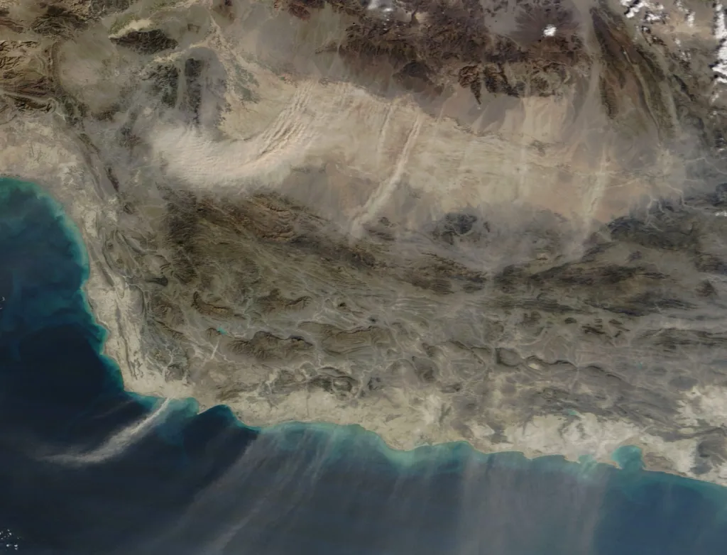
The Weaponization of Visibility
In the ongoing conflict between the United States and Iran, spatial data has transitioned from a supporting utility to a primary weapon of war. According to SpaceNews, the traditional boundaries between commercial and military intelligence are dissolving, replaced by a "geospatial era" where orbital visibility determines tactical survival.
Digital Blockades and Outsourced Targeting
This shift is characterized by two distinct maneuvers. First, the emergence of the digital blockade: at the behest of state actors, providers like Planet Labs have restricted satellite imagery over Iran, attempting to starve the adversary of situational awareness. Second, Iran has successfully bypassed these constraints by utilizing Chinese-linked commercial networks, specifically Earth Eye Co and Emposat. By leveraging third-party ground stations and Earth observation platforms, Tehran has effectively outsourced its "kill chain" to an international commercial ecosystem.
Kinetic Results of Data Mastery
The efficacy of this data integration is reflected on the ground. Iranian forces have executed saturation campaigns—launching over 5,400 drones and missiles in a single month—to overwhelm U.S. air defenses. Reports indicate approximately $800 million in damage to U.S. installations, including critical hits on THAAD missile defense systems and AN/TPY-2 radars in Jordan and the UAE. High-value assets, such as E-3 Sentry surveillance aircraft, have also been targeted.
Strategic Shift
This conflict confirms a broader systemic change also seen in the Ukraine-Russia theater: control over data-rich infrastructure now translates directly to operational advantage. Modern warfare is no longer defined solely by territorial holding, but by the ability to manipulate the flow of geospatial information across global, dual-use networks.