Orbital Geodesy: Precision Tracking of Earth’s Center of Mass
New data from NASA confirms the evolving dynamics of Earth's center of mass, utilizing satellite laser ranging to monitor shifts driven by melting ice sheets and deep-mantle convection.
GEO-STATIONARY ANALYSIS
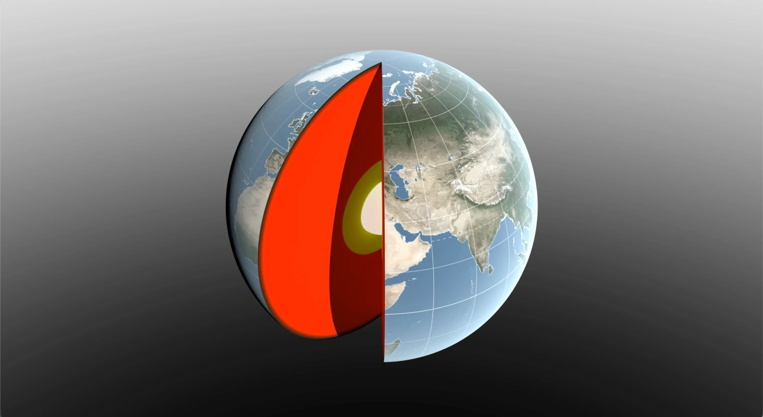
Earth is not a static object. According to NASA Breaking News, the agency is currently employing a global network of satellite laser ranging (SLR) stations to track the precise center of mass (CM) of the planet. This "point of balance" is the origin for the International Terrestrial Reference Frame, the foundational coordinate system utilized by GPS and orbital navigation.
MASS DISPLACEMENT VECTORS
The CM is in constant flux. Data indicates that the redistribution of water—primarily through the melting of polar ice sheets and changes in terrestrial water storage—causes the planet's mass to shift. Simultaneously, geological processes deep within the mantle and crust contribute to this kinetic displacement. Even subtle changes in mass distribution can alter the planet’s gravitational field, impacting the trajectories of low-Earth orbit satellites.
SYSTEM CALIBRATION
Measuring these shifts requires sub-millimeter precision. NASA’s Space Geodesy Project monitors the return time of laser pulses bounced off specialized satellites like LAGEOS. By calculating the delay, researchers can pinpoint the Earth's center of mass relative to the surface with unprecedented accuracy.
This continuous monitoring is vital for maintaining the accuracy of the planetary reference frame. Without these updates, the drift in Earth's mass distribution would lead to cumulative errors in sea-level rise measurements and interplanetary navigation. As the climate continues to redistribute surface mass, tracking the planet's "weight" remains a critical mission for orbital stability.