Orbital Analysis: The Pine Creek Gorge Anomaly
Satellite imaging reveals the geological architecture of the Pine Creek Gorge, a 76-kilometre erosional feature in Pennsylvania demonstrating long-term planetary surface evolution.
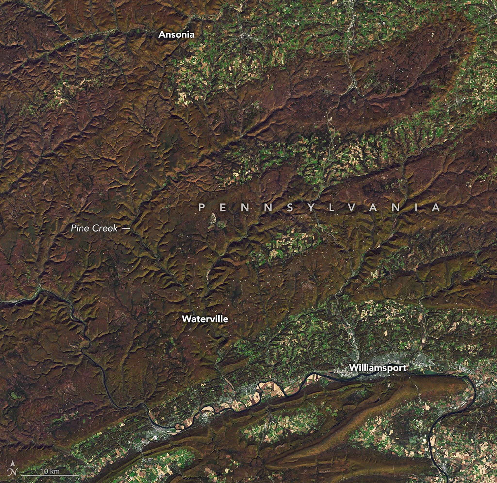
Data Entry: Pine Creek Gorge
Recent Earth Observation data underscores the scale of the Pine Creek Gorge, frequently designated as the 'Grand Canyon of Pennsylvania.' This significant geological feature represents a stark profile of erosional forces within the Appalachian Plateaus. According to NASA Breaking News, the gorge extends approximately 76 kilometres (47 miles) and reaches depths exceeding 440 metres (1,450 feet).
Geological Architecture
The formation’s current morphology is a product of drastic hydrological redirection during the Pleistocene epoch. Prior to glacial interference, the local drainage systems flowed north towards the St. Lawrence River. However, advancing ice sheets during the last glacial period obstructed these channels, creating proglacial lakes. As these basins breached, the resulting high-velocity meltwater reversed the flow southwards, carving the deep v-shaped canyon into the underlying Devonian sandstone and shale.
Modern Environment
Today, the gorge serves as a terrestrial laboratory for forest regeneration and ecosystem stability. The region is largely contained within the Tioga State Forest, showcasing a recovery from extensive late-19th-century logging. The predominant vegetation—including eastern hemlock and various hardwoods—provides a dense thermal canopy, regulating the microclimate of the canyon floor. Orbital sensors verify that the area has transitioned back to a high-density biomass state, securing the integrity of the Pine Creek watershed.
Mission Context
Monitoring such terrestrial formations allows for refined comparative planetology. By studying the specific fluvial erosion patterns in the Appalachian sector, researchers can better interpret similar dendritic structures observed on the Martian surface. The gorge remains a primary site for Earth-based sensor calibration and hydrological modeling.