Orbital Analysis: The Lithic Monoliths of Chiricahua
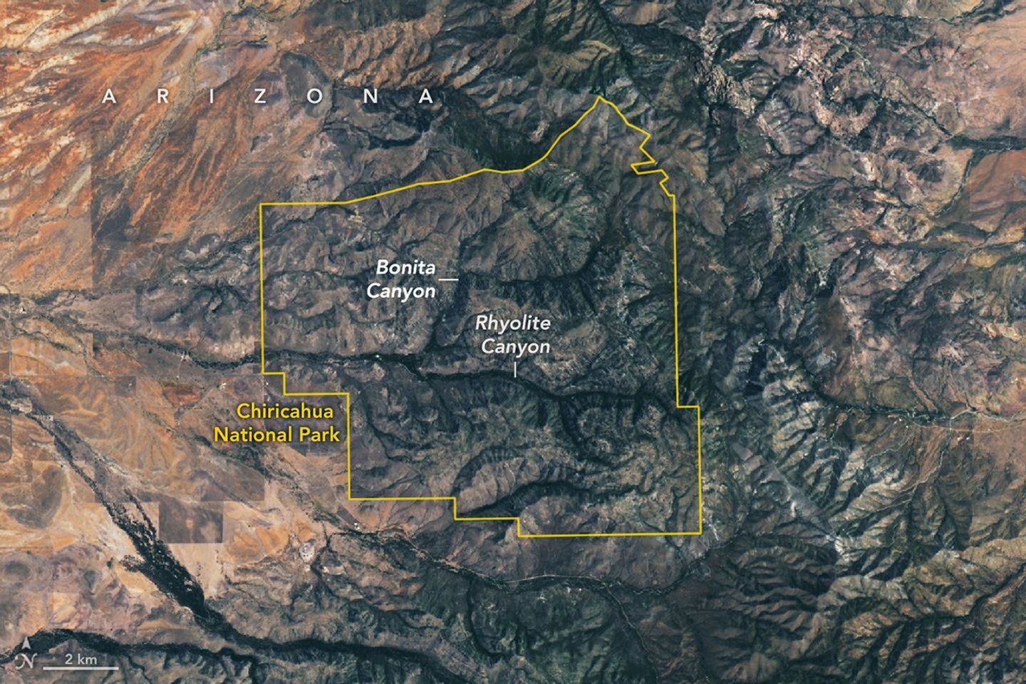
New satellite imagery reveals the complex geological architecture of Arizona’s Chiricahua National Monument, a landscape forged by cataclysmic volcanic activity 27 million years ago.
Geological Intelligence Report
Recent imaging data confirms the structural integrity and unique morphological characteristics of the Chiricahua National Monument in Arizona. Often designated as the "Land of the Standing-Up Rocks," this sector serves as a terrestrial analog for extreme erosion and volcanic sedimentation processes observed across the inner solar system.
According to NASA Breaking News, the site is dominated by massive rhyolitic tuff formations. These vertical monoliths—known as pinnacles or hoodoos—are the remnants of a high-energy volcanic event that occurred approximately 27 million years ago. The eruption of the nearby Turkey Creek Volcano ejected an estimated 100 cubic miles of ash and debris, which subsequently fused into thick layers of rock through intense heat and pressure.
Tectonic and Atmospheric Erosion
The current structural profile is the result of millions of years of tectonic stress and atmospheric filtration. As the Earth’s crust shifted, the solidified rhyolite fractured into a grid-like pattern of vertical joints. Subsequent exposure to water, ice, and wind exploited these structural weaknesses, widening the gaps and carving the dense tuff into the isolated spires visible from orbital altitudes today.
These formations provide critical data on how planetary surfaces respond to prolonged weathering after significant pyroclastic events. The monument remains a high-value target for researchers studying the intersection of volcanology and long-term geomorphology, serving as a blueprint for understanding rocky exoplanetary environments.