Orbital Analysis: Super Typhoon Bavi Visualized via EO Sensors
NASA satellite imagery provides a critical look at Super Typhoon Bavi as it transits the East China Sea toward the Korean Peninsula.
# Terminal Log: Tropical Weather Systems / Bavi
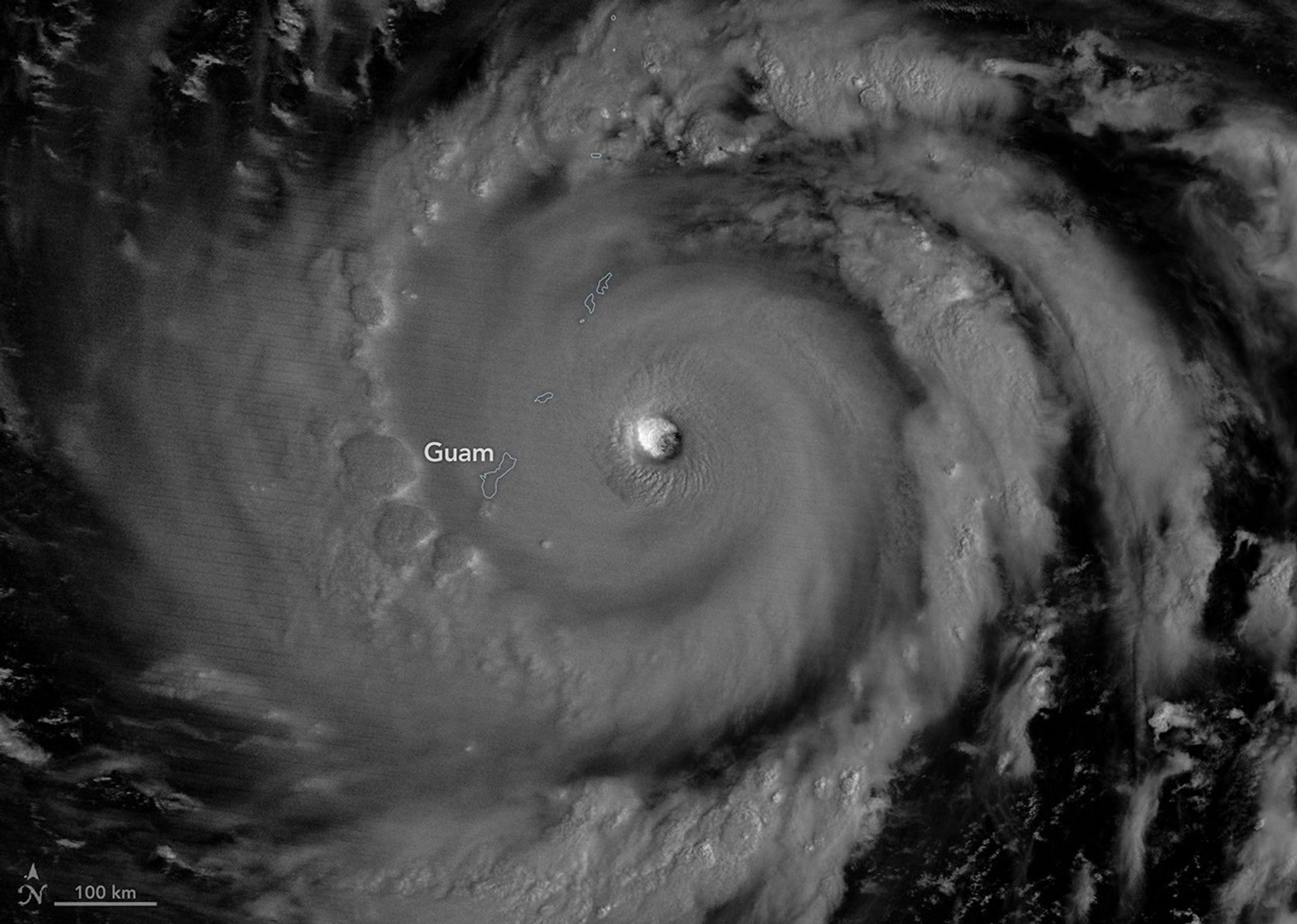
Data acquisition confirms the intensification of Super Typhoon Bavi as it traverses the East China Sea. Orbital monitoring systems have locked onto the system’s trajectory, providing high-resolution imagery of the storm’s structure. According to NASA Breaking News, the Earth Observatory mission has documented the storm’s massive convective cells and distinct eye formation as it migrates north toward the Korean Peninsula.
Orbital Observations
Telemetry from satellite platforms highlights Bavi as a high-velocity meteorological event. Sensors have tracked the eyewall development, indicating a significant energy exchange between the warming ocean surface and the upper atmosphere. This transition into a "super" typhoon classification marks it as a primary threat to regional infrastructure and maritime operations in the Pacific corridor.
Trajectory and Impact Status
Current projections indicate a sustained northward heading. The storm is expected to make landfall in North Korea or northeastern China, potentially maintaining high-category wind speeds upon arrival. Space-based assets continue to relay real-time atmospheric data to terrestrial monitoring centers to refine impact predictions.
NASA’s Earth-observing constellation remains the primary source for this data, illustrating the critical role of satellite-based remote sensing in catastrophic event mitigation. As the storm interacts with regional pressure systems, orbital sensors are providing the necessary resolution to map precipitation density and wind-field dynamics. Local authorities are advised to utilize these space-sourced datasets for emergency planning.