Orbital Analysis: Smoke Veils Cascade Range
High-altitude imaging confirms heavy smoke accumulation across the Cascade Range. Satellite data highlights the impact of wildfire activity on the Pacific Northwest volcanic arc.
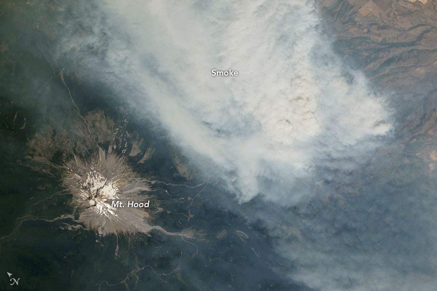
Surveillance Brief: Cascade Range
Recent Earth-observation data confirms that the Cascade Range is currently obscured by significant smoke density. According to NASA Breaking News, satellite telemetry captured detailed visuals of the volcanic arc—which includes major peaks like Mount St. Helens, Mount Rainier, and Mount Adams—shrouded in aerosol layers originating from regional wildfire activity.
Data Points
The imaging, facilitated by NASA’s Earth Observatory, monitors the movement of particulate matter across the Pacific Northwest. These volcanoes, typically prominent landmarks for orbital sensors, are now difficult to resolve due to the opacity of the smoke plumes. This phenomenon is not merely a visual obstruction but a metric for atmospheric quality and fire intensity in the region.
Orbital Context
NASA continues to leverage its fleet of Earth-monitoring satellites to track these events. The agency’s data suggests that the smoke is circulating heavily around the volcanic peaks, driven by prevailing wind patterns. These observations are critical for climate modeling and emergency response coordination. As NASA monitors these developments, the integration of data from missions like Artemis and the International Space Station remains a priority for holistic Earth-system science.
Terminal status: Monitoring continues.