Orbital Analysis Detects Surface Displacement After Venezuelan Seismic Activity
NASA satellite data has mapped significant ground deformation in eastern Venezuela following a series of earthquakes, revealing the structural impact on the El Pilar fault system.
DATA OVERVIEW: SEISMIC LITHOSPHERE SHIFT
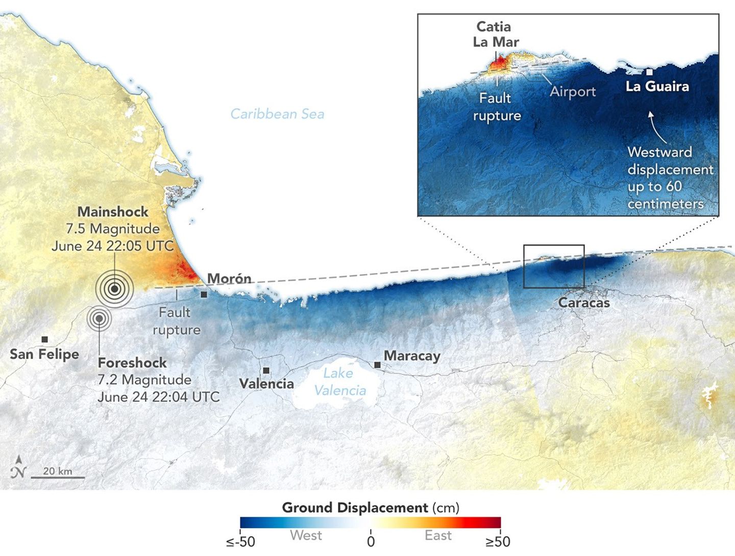
Precise orbital monitoring has confirmed the spatial impact of recent seismic events in eastern Venezuela. According to NASA Breaking News, researchers utilized Interferometric Synthetic Aperture Radar (InSAR) technology to visualize how the Earth's surface shifted following a magnitude 6.3 earthquake and subsequent tremors. The primary focus of this lithospheric displacement is the El Pilar fault, a major tectonic boundary where the South American and Caribbean plates interact.
TECTONIC DATA ANALYSIS
Satellite imagery, processed through the Advanced Rapid Imaging and Analysis (ARIA) project, indicates that the ground moved as much as 14 centimeters (5.5 inches) in specific sectors. Most of this displacement occurred along the coast near the town of El Pilar. The InSAR data produces an interferogram—a map of colorful patterns representing the 'fringe' of movement—allowing scientists to see precise surface deformation that is often invisible to the naked eye or traditional ground sensors.
STRUCTURAL IMPLICATIONS
The El Pilar fault is a strike-slip fault, where blocks of crust slide horizontally past each other. The data confirms that the August 21 event and its aftershocks triggered significant lateral movement. While the epicenter was deep—roughly 123 kilometers below the surface—the energy release was sufficient to warp the overlying topography. This orbital perspective is critical for humanitarian agencies and geologists to assess infrastructure integrity and future risk zones in the region.