NOCTURNAL OVERVIEW: MIDWESTERN LIGHTS DATASET
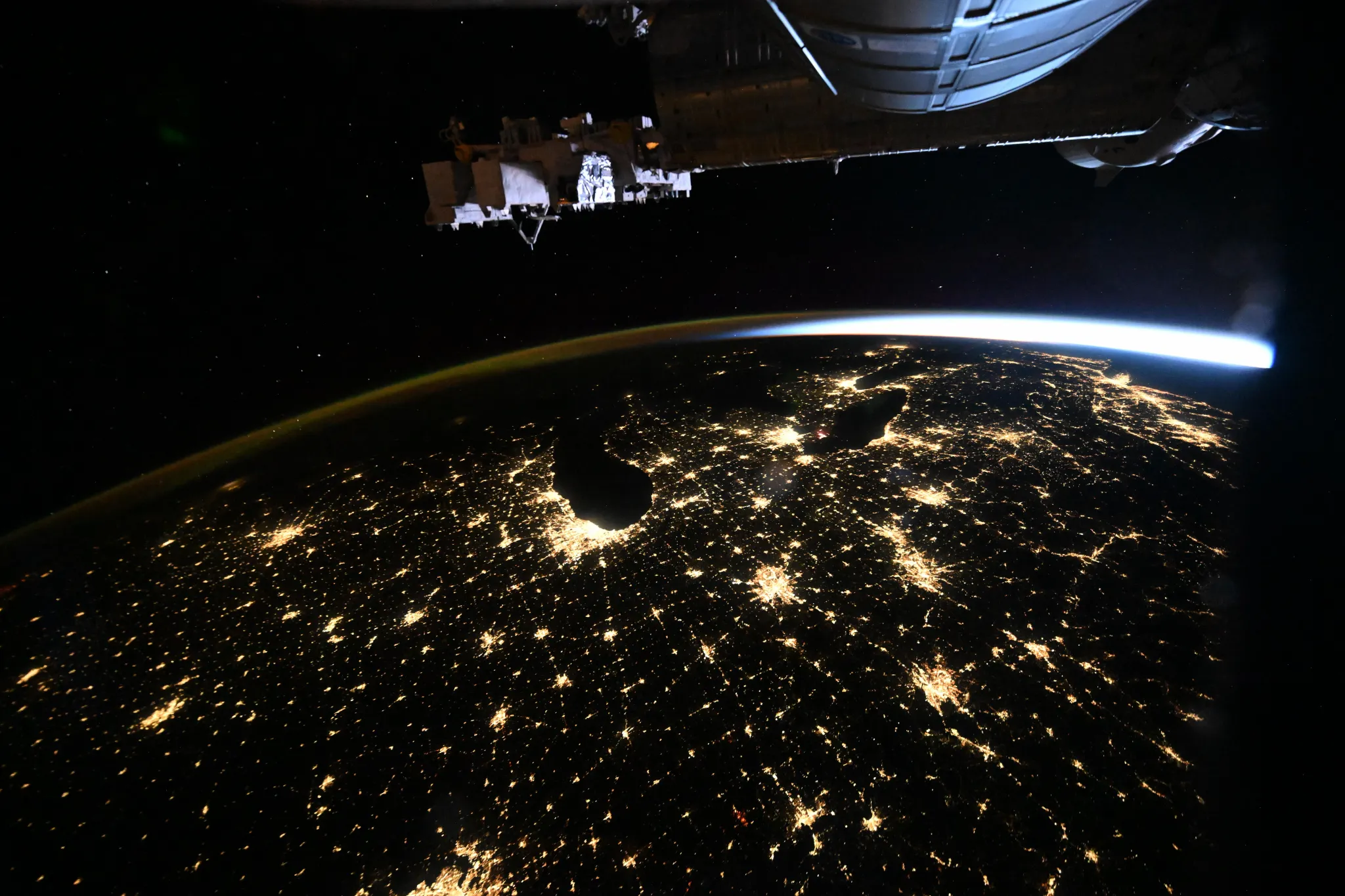
New orbital imaging from NASA Breaking News captures the high-intensity light pollution and urban distribution across the American Midwest as seen from the International Space Station.
Orbital Surveillance Report
Recent data downlink from NASA Breaking News provides a high-resolution visual survey of the American Midwest under nocturnal conditions. The imagery, captured from the International Space Station (ISS), highlights the distinct thermal and electrical signatures of major urban nodes including Chicago, St. Louis, and Minneapolis. These hubs manifest as high-intensity clusters of artificial light, radiating outward into interconnected terrestrial transport networks.
Data Analysis: Urban Connectivity
The distribution of light across this sector reveals the logistical backbone of the North American interior. According to NASA Breaking News, the sprawling light patterns are not merely aesthetic; they serve as a map of energy consumption and population density. Chicago remains the primary luminosity source in the region, with its grid-like structure and arterial highways clearly visible from the 400-kilometer orbital altitude.
Operational Context
Imaging such as this is critical for Earth science observations, allowing researchers to track the growth of urban environments and the impact of light pollution on local ecosystems. The ISS serves as a unique platform for this longitudinal study, providing the necessary perspective to monitor human impact on the planetary surface. As human infrastructure continues to expand, these orbital perspectives provide the factual baseline for future atmospheric and environmental policy. For the space industry, these images represent the constant intersection of human habitability and orbital monitoring technology.