NASA CSDA VALIDATES EARTHDEM ELEVATION DATA
A new quality assessment from NASA's CSDA program evaluates the precision of Polar Geospatial Center’s EarthDEM products, providing critical benchmarks for commercial elevation models.
DATA VALIDATION LOG: EARTHDEM
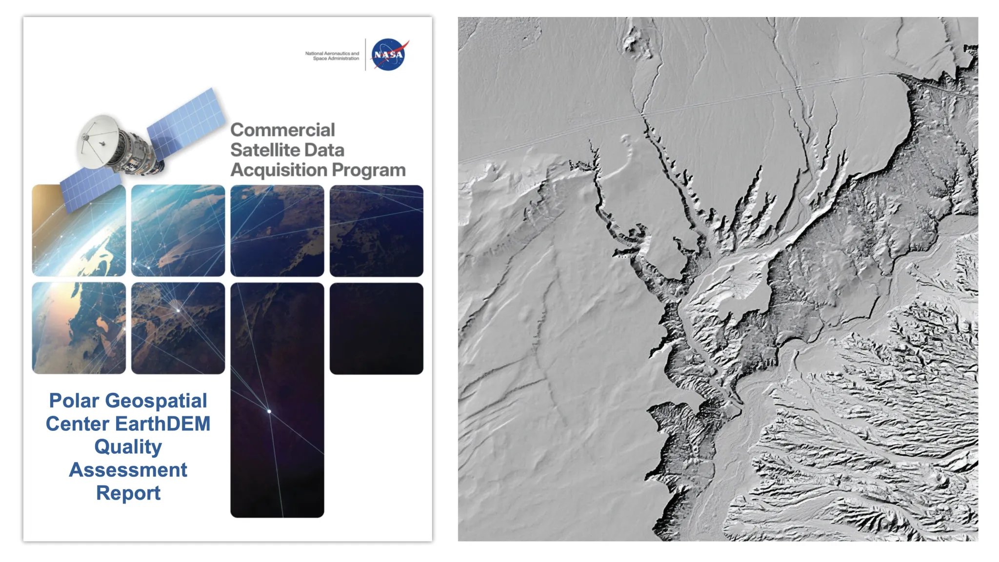
The NASA Commercial Smallsat Data Acquisition (CSDA) program has released a comprehensive quality assessment report targeting the Digital Elevation Models (DEMs) produced by the Polar Geospatial Center (PGC). According to NASA Breaking News, this audit is designed to provide the global research community with verified performance metrics for EarthDEM products, which are derived from high-resolution commercial satellite imagery.
TECHNICAL PARAMETERS
The assessment focuses on the accuracy and reliability of elevation data across diverse terrains. EarthDEM utilizes sub-meter resolution stereoscopic imagery—primarily from the Maxar constellation—to generate high-precision topographical maps. The CSDA evaluation serves as a critical filter, identifying systematic errors, vertical accuracy shifts, and data artifacts that could impact scientific modeling. By quantifying these variables, NASA ensures that researchers can utilize commercial datasets with the same rigor applied to institutional satellite missions.
OPERATIONAL IMPACT
Digital Elevation Models are fundamental to cryospheric monitoring, disaster response, and hydrological modeling. As commercial data becomes more integrated into public research frameworks, independent validation via the CSDA becomes mandatory. This report confirms that while EarthDEM provides unprecedented coverage and detail, specific calibration parameters must be observed to maintain data integrity in high-latitude and complex topographical regions. For the European space sector, these findings offer a blueprint for cross-validating commercial Earth Observation (EO) data against sovereign scientific standards.