HEO to use Planet satellites for non-Earth imaging
HEO, the Australian company that uses Earth observation satellites to take images of other spacecraft, has signed an agreement with Planet to access that company’s satellites The post HEO to use Planet satellites for non-Earth imaging appeared first on SpaceNews.

Home / HEO to use Planet satellites for non-Earth imaging
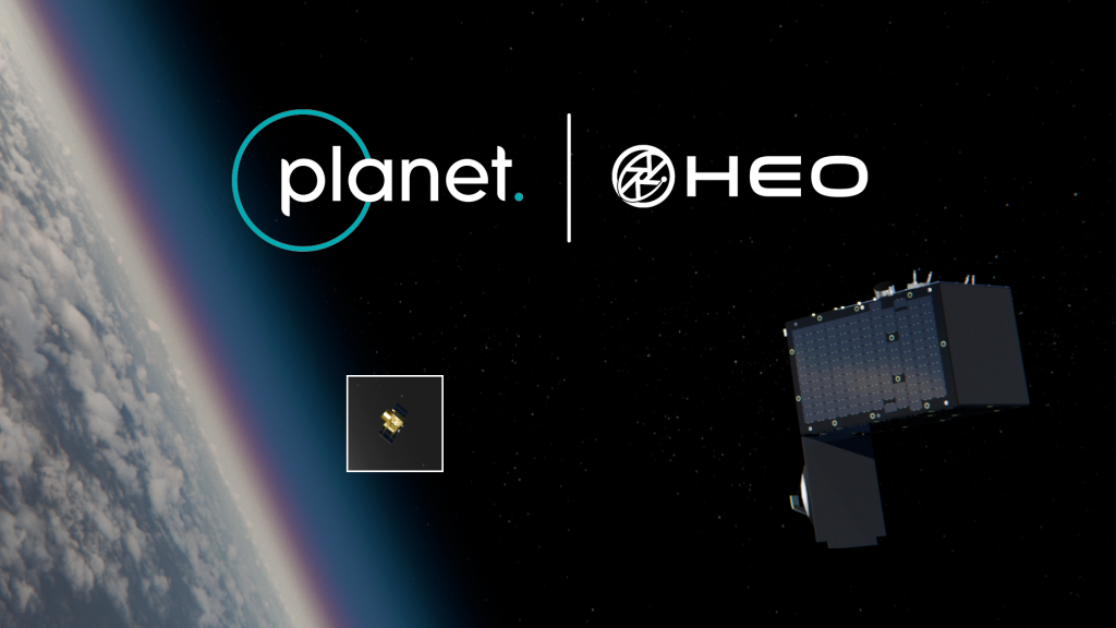
!Planet and HEOHEO will use Planet's SkySat satellites to take images of other space objects, initially for U.S. government customers.
WASHINGTON — HEO, the Australian company that uses Earth observation satellites to take images of other spacecraft, has signed an agreement with Planet to access that company’s satellites.
The two companies announced a partnership Aug. 17 in which HEO will be able to use Planet’s SkySat high-resolution satellites for what is known as non-Earth imaging, or NEI. The companies did not disclose financial terms of the partnership.
HEO will be able to task SkySat satellites when they are not being used for Earth observation to instead take images of other space objects. The SkySat NEI imagery will initially be available only to HEO’s U.S. government customers.
“Planet has heard increasing calls for the need to detect and characterize potentially nefarious activity in space, from space, and by integrating our high-resolution SkySat constellation with HEO’s analytic expertise, we are bringing rapid, scalable on-orbit imaging capacity to our customers,” Jon Powers, general manager of Planet Federal, said in a statement.
With the addition of SkySat, HEO will have access to more than 50 sensors in orbit, primarily from other Earth observation companies, that it can use to observe other space objects.
“We don’t need huge, expensive satellites to do the non-Earth imaging mission and help governments and satellite owners. You just need to have cameras in the right place at the right time,” said Will Crowe, chief executive of HEO, in an interview.
That approach requires “a diversity of sensors and a diversity of orbits,” he said. “That increases your chances of having your camera in the right place at the right time to take the right image of an object of interest.”
The SkySat NEI imagery will initially be limited to U.S. government customers because of licensing issues, he said, but he expects to eventually be able to offer those images to commercial customers. The partnership, he added, could later expand to using Planet’s Pelican and Dove satellites in addition to SkySats.
That government restriction is not a major hindrance, though, since Crowe estimated that 90% of HEO’s business comes from government customers, with 10% from commercial customers.
“We’re focused on the government customer because they know what this is, they know why it’s important,” he said. “Companies are really starting to wake up to this, but I’d say it’s still early days on the adoption curve for commercial.”
He noted the company is seeing growing commercial interest in NEI, citing as one example the use of such imagery to help identify satellites deployed in clusters on rideshare launches. Another case involved using NEI to study a malfunctioning SpaceX Starlink satellite, showing the spacecraft was tumbling but had not broken apart.
In addition to using other companies’ satellites , HEO acquired its first satellite, Continuum-1, earlier this year. That imaging spacecraft was built by Satellogic and launched three years earlier as NewSat-34.
“Continuum-1 has been doing amazing things,” Crowe said. It allows the company to go from a tasking model, taking images as requested, to one in which the satellite can regularly monitor objects of interest. “It turns us into a bit more of a diagnostic tool where we can get ‘before’ images and information about an object, and then, if and when an event does happen, we can collect images after the fact and compare them.”
HEO also recently announced plans to use Continuum-1 to demonstrate rendezvous and proximity operations by maneuvering the spacecraft to within tens of kilometers of a defunct rocket body in low Earth orbit. If successful, it would show how such maneuvers could enable more continuous imagery of objects of interest.
“It’s really been amazing to use a spacecraft that wasn’t intended for that purpose, but then repurpose it to do some pretty amazing stuff and collect some really amazing imagery,” Crowe said. “That’s where we’ve got to go as an industry: really think about the needs of the customer and make sure that we’re delivering stuff that can fix whatever issues they might have with their satellites or the need-to-know kind of stuff for the intelligence community.”
_Related_

Jeff Foust
Jeff Foust writes about space policy, commercial space, and related topics for SpaceNews.
He earned a Ph.D. in planetary sciences from the Massachusetts Institute of Technology and a bachelor’s degree with honors in geophysics and planetary science... More by Jeff Foust
Sign in or register
Close
Continue with Google
Or
Enter the code sent to your email
Email address
Enter your password
Sign in by entering the code we sent to , or clicking the magic link in the email.
ContinueResend codeEmail me a one-time code instead Forgot password Go back
Continue Set a password (optional)
We'll send a verification code to %EMAIL%.
Send code
Skip for now
To continue reading this article:
Register now to get
2 more free articles this month.
You’ll also receive our weekly Editor’s Choice, SpaceNews This Week and Opinions newsletters. Opt-out at any time.
Sign up
Sign in to an existing account
Get unlimited access to SpaceNews.com, the SpaceNews app and our digital monthly magazine for less than $5 per week.
$250/year
Subscribe now
_Cancel anytime. Sales tax may apply. No refunds._ _Terms and conditions apply._
Link
Copy link
Digital All-Access Subscription (Monthly) $25.00 / monthDigital All-Access Subscription (Quarterly) $70.00 every 3 monthsDigital All-Access Subscription (Yearly) $250 / yearDigital All-Access Subscription (2 Years) $450 every 2 yearsPurchase
Sign in to an existing account Cancel