Data Log: Artemis II Crew Visualizing Lunar Landmarks
Artemis II mission specialists are utilizing annotated lunar imagery to finalize orbital trajectory familiarization, bridging the gap between historical Apollo data and modern mission requirements.
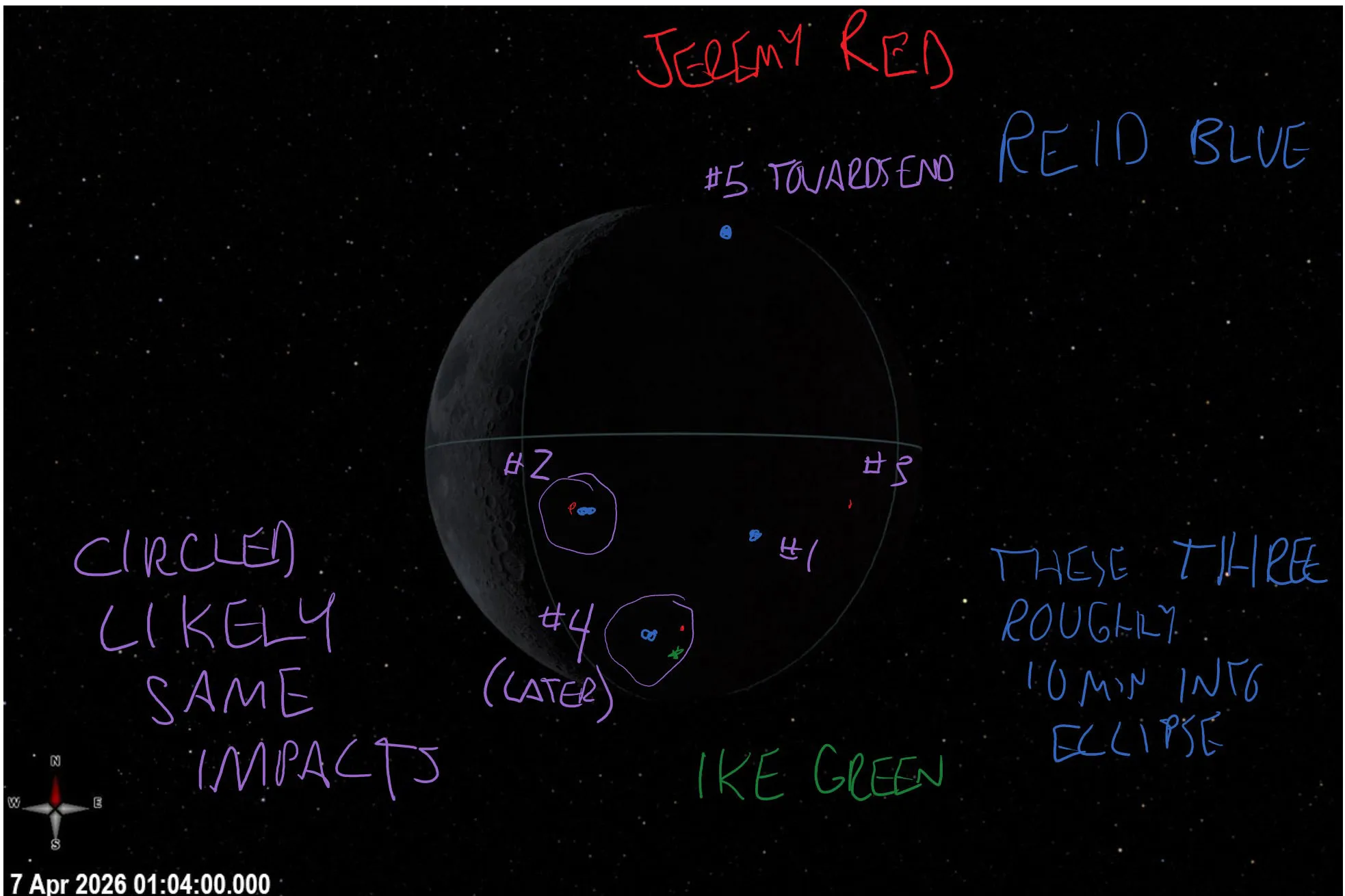
Orbital Analysis: Artemis II Target Data
Preparation for the first crewed lunar mission of the 21st century has entered a high-fidelity visual phase. According to NASA Breaking News, mission specialists for the Artemis II flight are currently reviewing annotated lunar photography to synchronize ground-truth data with upcoming orbital maneuvers.
These annotations serve as critical navigational aids, identifying specific lunar features that will be visible from the Orion spacecraft during its lunar flyby. The primary objective is to ensure the four-person crew can perform rapid visual verification of their position relative to the lunar surface. By mapping high-resolution imagery against historical data, flight planners are refining the crew's ability to recognize geological waypoints, craters, and landing zones reserved for future Artemis surface operations.
Systems Validation
The annotated data sets include specific markers for lighting conditions and shadow depths, factors that are crucial for manual orientation should automated telemetry fail. This level of visual literacy is considered essential for the mission, which involves a free-return trajectory around the Moon. The integration of these visual guides ensures that the crew—composed of NASA and CSA astronauts—maintains total situational awareness during the roughly ten-day mission duration.
Beyond navigation, these annotated images serve as the baseline for the science investigations recently added to the Moon Base program. As Artemis II transitions from planning to execution, these visual datasets remain the primary reference for reconciling orbital velocity with human perception in the cislunar environment.