Data Log: Arctic Sea Ice Reaches 2026 Minimum
New satellite telemetry confirms the Arctic sea ice has reached its annual minimum for 2026. Data from NASA indicates a continued long-term decline in polar cryospheric stability.
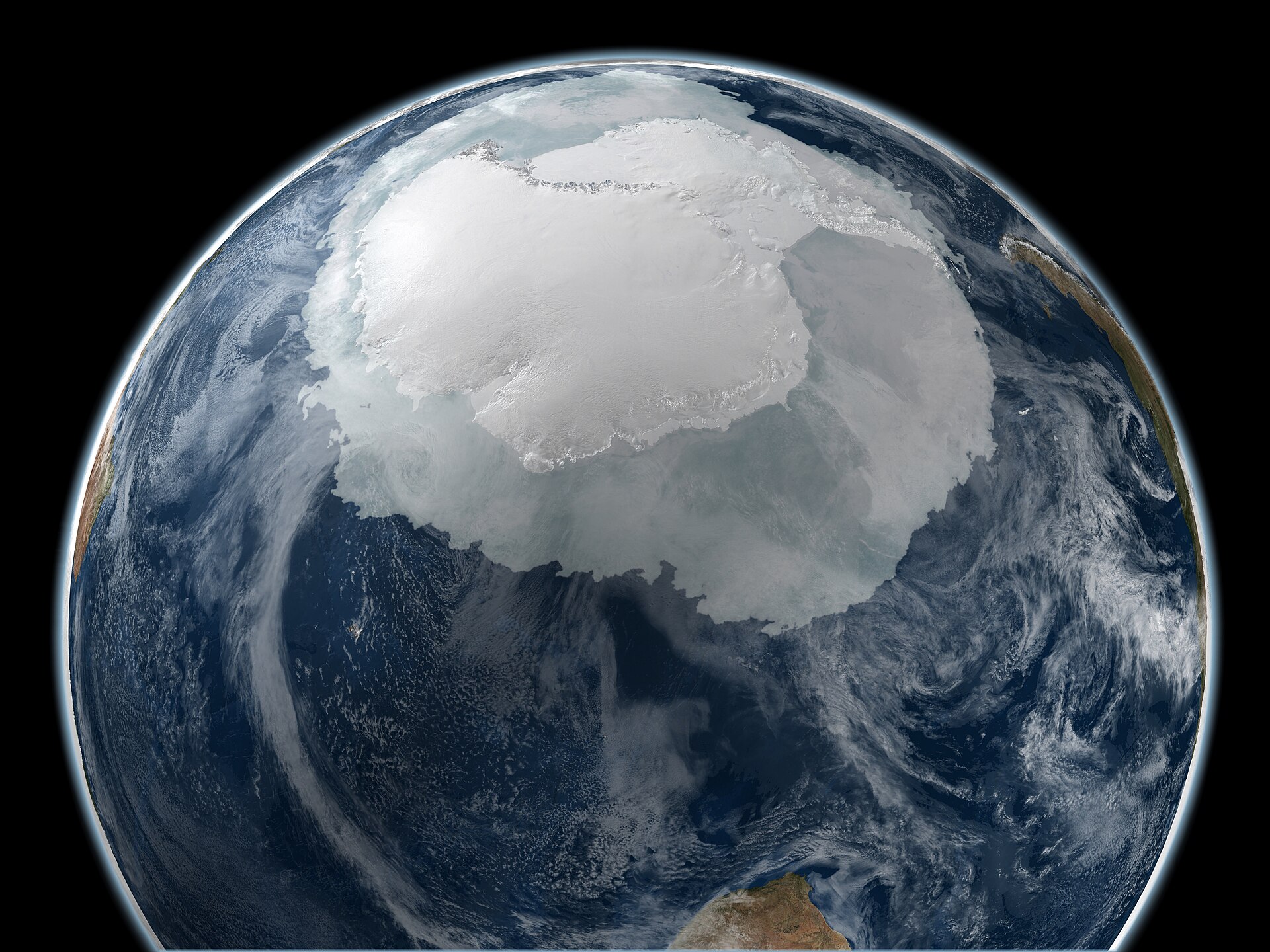
Orbital Analysis: Cryospheric Status
NASA Earth Observatory satellite arrays have confirmed that Arctic sea ice has reached its minimum extent for the 2026 calendar year. According to NASA Breaking News, this annual trough represents the point where the ice cover stops retreating after the northern summer melt cycle and begins its transition back into the growth phase for the winter period.
Operational Data Points
The 2026 minimum continues a multi-decadal trend of thinning and receding polar ice. Orbital sensors, including the ICESat-2 mission and the Moderate Resolution Imaging Spectroradiometer (MODIS), monitor these shifts to track the accelerating impacts of thermal energy absorption in the Arctic Ocean. While specific square-kilometer metrics fluctuate annually, the trajectory remains aligned with long-term climate models predicting increased open-water duration in the northern latitudes.
Strategic Implications
The loss of sea ice alters the Earth’s albedo—the percentage of solar radiation reflected back into space—leading to a feedback loop where warmer waters further inhibit ice formation. This telemetry is critical for European space agencies and commercial entities focusing on Earth Observation (EO) and the development of new trans-polar satellite communication corridors.
As the polar ice cap shrinks, orbital monitoring becomes the primary method for maintaining maritime safety and logistical awareness in the region. NASA indicates that while the 2026 threshold has been reached, the recovery rate of the ice during the upcoming winter will be a primary focus for upcoming atmospheric and oceanic research missions.