DATA FEED: SIBERIAN PERMAFROST DEGRADATION
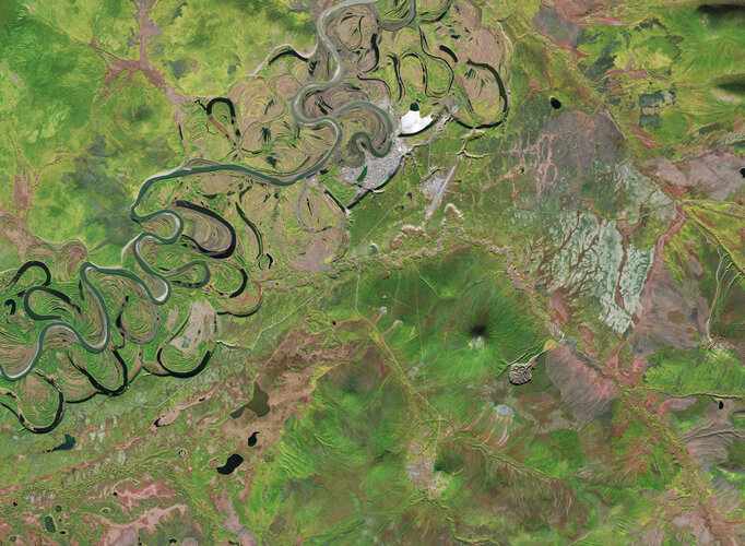
Orbital imaging reveals the rapid expansion of the Batagaika Crater, a massive 'megaslump' driven by thawing permafrost in the Sakha Republic.
ANALYSIS REPORT: BATAGAIKA ANOMALY
Satellite surveillance has confirmed the accelerating expansion of the Batagaika Crater, a massive thermokarst depression located in the Chersky Range of Russia's Sakha Republic. Known locally as the 'gateway to the underworld,' the structure is a stark visual metric of permafrost degradation.
According to ESA, the crater is not a volcanic or impact event but a 'megaslump'—a collapse resulting from the thawing of ice-rich soil. This process was initiated in the 1960s following significant deforestation in the region. Without the thermal protection provided by vegetation, the underlying permafrost was exposed to rising temperatures, triggering a runaway thaw cycle.
//STRUCTURAL DYNAMICS
- Dimensions: The depression spans approximately 1 kilometer in length and reaches depths of nearly 100 meters.
- Expansion rate: High-resolution orbital data indicates the headwall is receding at an estimated 10 to 30 meters per year.
- Atmospheric Impact: As the slump widens, it releases significant volumes of sequestered organic carbon and greenhouse gases, further exacerbating the regional feedback loop.
The Batagaika site serves as a primary ground-truth location for climate scientists monitoring the stability of the Arctic cryosphere. ESA sensors continue to track the structural integrity of the surrounding landscape, noting that the crater is merely the most visible symptom of a broader, subterranean transition occurring across the Siberian tundra.