Curiosity Telemetry: High-Resolution Dawn Over Gale Crater
NASA’s Curiosity rover has transmitted a high-fidelity morning panorama of wind-carved Martian cliffs, providing mission scientists with unprecedented data on the region's geological erosion.
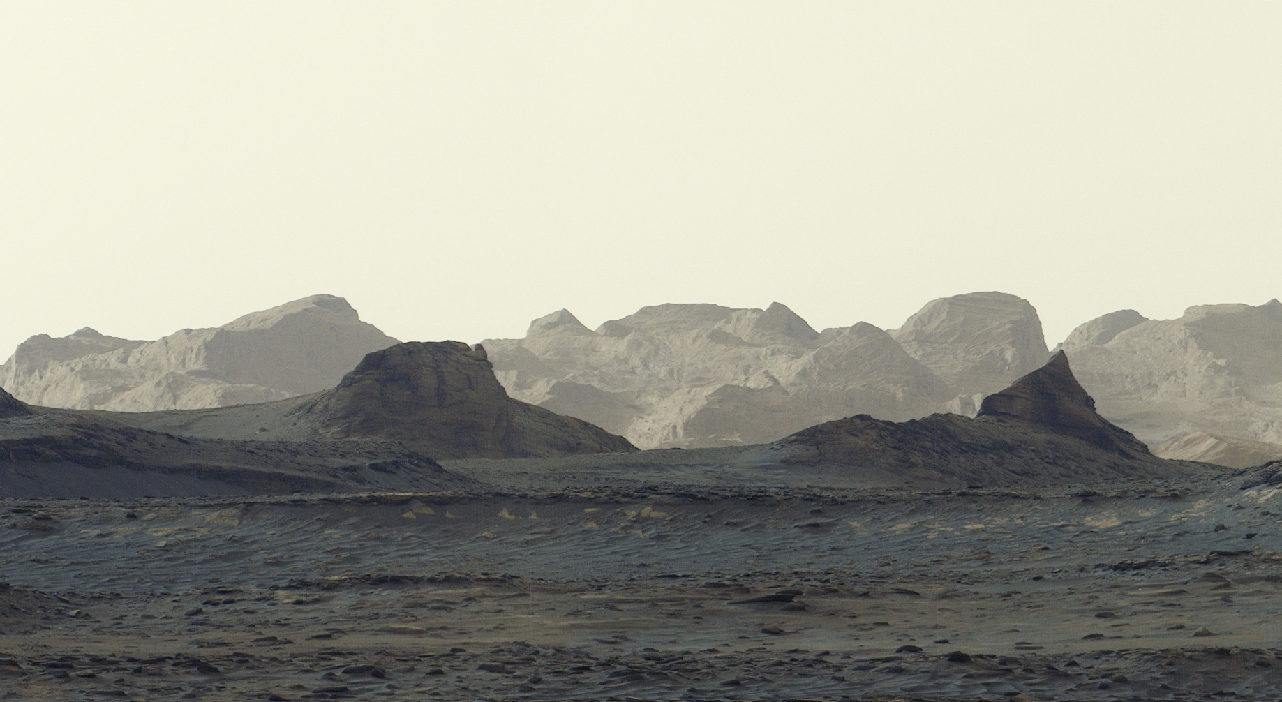
Surveillance Report: Gale Crater Sector
Data uplinks from the Mars Science Laboratory (MSL) have confirmed a successful imaging sequence at 08:30 local Martian time. According to NASA Breaking News, the Curiosity rover has captured a high-resolution panorama documenting the dawn illumination over a series of distant, wind-sculpted cliffs. This visual data represents the most detailed observation to date of these specific geological structures.
Geological Analysis
The imagery focuses on features that mission scientists have targeted since the rover’s arrival in the crater. These cliffs, defined by aeolian erosion, provide a vertical cross-section of the planet's atmospheric history. The low-angle morning sunlight emphasizes the topography, casting long shadows that reveal subtle textures in the rock faces previously obscured by mid-day glare.
Operational Status
MSL Curiosity remains operational, traversing the foothills of Mount Sharp. The recent capture serves a dual purpose: calibrated atmospheric monitoring and high-fidelity mapping. By analyzing the layering of these distant cliffs, researchers aim to reconstruct the sequence of climatic shifts that transitioned Mars from a water-rich environment to the arid desert state observed today. The telemetry confirms all systems are within nominal parameters for continued ascent.
Strategic Overview
This latest visual record reinforces the utility of long-term mobile assets in harsh environments. As the rover proceeds, the data collected will inform future landing site selections for both robotic and potentially crewed incursions into the Martian interior.