Curiosity Marks Sol 5036: Atmosphere Dynamics and Orbital Reconnaissance
NASA's Curiosity rover executes specialized atmospheric imaging and rock sampling at Gediz Vallis while coordinating with the Mars Reconnaissance Orbiter for high-altitude logistics.
Operational Status: Sol 5036-5042
According to NASA Breaking News, the Curiosity rover has commenced a multi-sol science sequence focused on atmospheric characterization and geological sampling within the Gediz Vallis region. As the mission enters its 5036th Martian day, the primary objective shifted toward zenith and supra-horizon imaging to monitor seasonal cloud activity.
Data Acquisition and Imaging
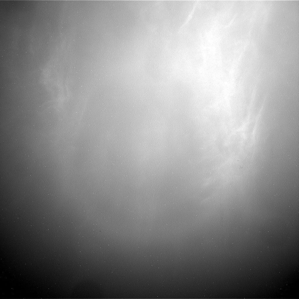
Operational logs indicate that the rover’s Mastcam and Navcam instruments were deployed to capture time-lapse sequences of Martian cloud movement. These observations are critical for refining atmospheric circulation models of the Gale Crater region. Concurrent with these skyward observations, Curiosity performed contact science on the target "Fairview Dome," utilizing its Alpha Particle X-ray Spectrometer (APXS) and Mars Hand Lens Imager (MAHLI) to determine the elemental composition of the local lithology.
Orbital Synchronization
The mission also integrated orbital coordination. While Curiosity performed ground-level analysis, the Mars Reconnaissance Orbiter (MRO) executed high-resolution overhead passes. This dual-perspective approach allows mission controllers to correlate ground-truth data with orbital spectral signatures, enhancing the accuracy of future mapping.
Logistics and Mobility
Following the completion of the atmospheric suite, the rover executed a planned traverse to a new vantage point. This movement was preceded by a standard safety assessment of the local terrain to ensure the stability of the articulated arm during upcoming drilling operations. The current sequence concludes with a massive data downlink to the Deep Space Network, ensuring all high-resolution telemetry is secured for terrestrial analysis.