CURIOSITY CAPTURES HIGH-RESOLUTION YARDANGS AT MARTIAN DAWN
NASA’s Curiosity rover has transmitted its most detailed imagery to date of wind-carved Martian cliffs, providing new insights into the planet's erosional history.
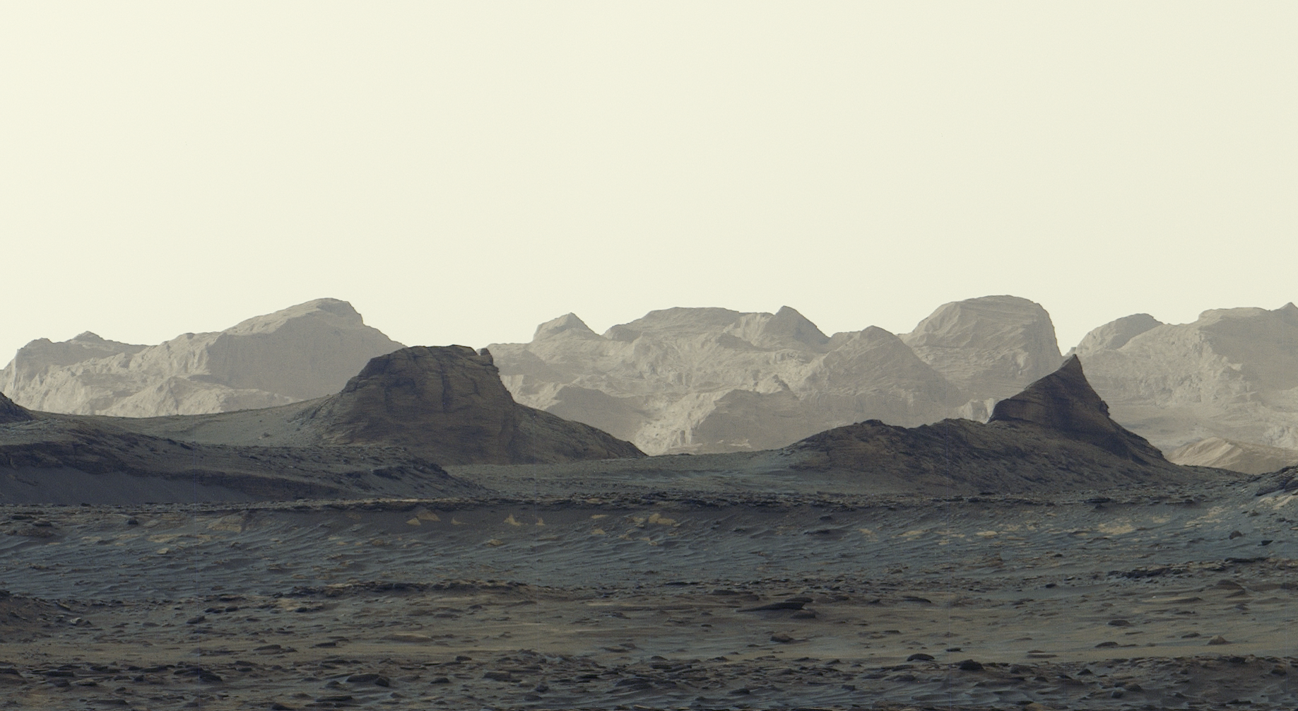
Operational Status: Gale Crater
According to NASA Breaking News, the Curiosity rover has successfully documented the Martian dawn in a high-resolution panorama released on October 6, 2026. The data transmission includes a close-up analysis of elongated ridges, known as yardangs, which serve as primary indicators of long-term atmospheric impact on the Martian surface.
Geological Analysis: Yardang Formations
The imagery represents the most detailed visual data acquired to date regarding distant, wind-carved Martian cliffs. These yardangs are geological structures sculpted by persistent wind erosion, carved into the bedrock over millennial timescales. By capturing these features during the low-sun angle of dawn, the rover’s imaging systems have highlighted textural nuances and structural complexities that are typically obscured during peak daylight hours.
Atmospheric Interaction
The focus on these ridges allows mission scientists to reconstruct historical wind patterns and erosion rates within Gale Crater. As Curiosity continues its ascent, these high-fidelity captures provide essential context for the planet’s transition from a water-rich environment to a wind-dominated desert. The clarity of the October 6 release marks a technical milestone in orbital-to-surface visual correlation.
Data Integrity
All telemetry confirms that the rover’s imaging hardware remains within nominal parameters despite the harsh dust environment. The captured cliffs provide a stratigraphic record of Mars' volatile past, now exposed by the relentless Martian wind.