Cryogenic Surveillance: Vega Island Data Retrieval
High-resolution orbital imaging provides a tactical overview of Vega Island, a key Antarctic geological site currently locked in seasonal deep-freeze.
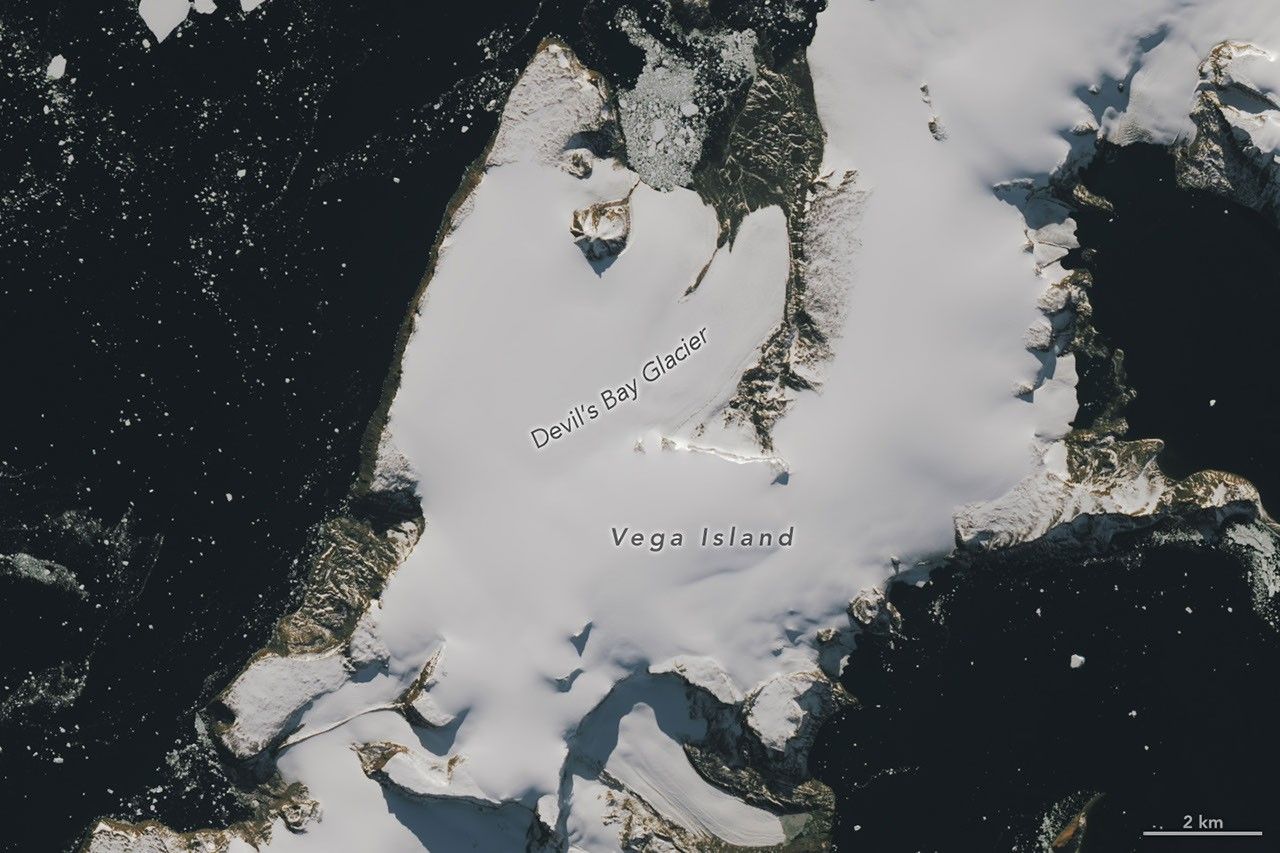
# TERRESTRIAL SECTOR: VEGA ISLAND OBSERVED
STATUS: FROZEN
Orbital sensors have confirmed the onset of extreme seasonal cooling across Vega Island, located off the northeastern tip of the Antarctic Peninsula. According to NASA Breaking News, recent Earth Observatory data captures the island in a state of stasis, characterized by a jagged, ice-choked coastline and permafrost-dominated topography.
GEO-STRATEGIC PROFILE
Vega Island remains a critical site for terrestrial archaeology and paleontology. Despite its current inhospitable state, the island is renowned among the scientific community for housing extensive fossil deposits. These geological strata offer high-fidelity data regarding the transition of the Cretaceous-Paleogene boundary, documenting the era when the Antarctic environment was drastically warmer and supported diverse biodiversity.
TOPOGRAPHICAL ANALYSIS
The island is dominated by a volcanic plateau, rising sharply from the Weddell Sea. Current imaging shows the surrounding waters congested with sea ice and tabular icebergs, restricting maritime access. The landmass is primarily composed of volcanic rock and sedimentary layers, now obscured by a persistent cryogenic layer. High-velocity winds and sub-zero temperatures define the current atmospheric window, maintaining the island's isolation from surface-level exploration.
MISSION CONTEXT
While Vega Island appears desolate under spectral analysis, it serves as a terrestrial proxy for understanding extreme environments. The data retrieved by NASA Earth Observatory facilitates ongoing monitoring of polar ice dynamics and serves as a baseline for comparative planetary geology. Remote sensing remains the primary method of surveillance until the seasonal thaw allows for human-led field operations to resume in the sector.